Calderdale Metropolitan Borough Council
Tree preservation zone
There is a problem
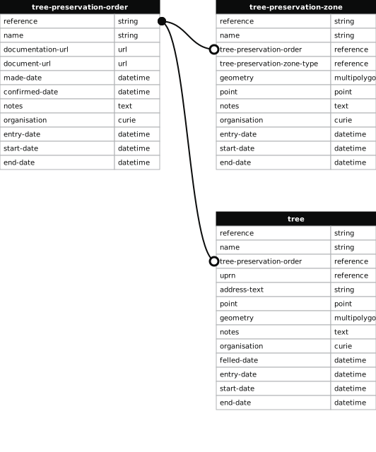
- 199 entries with tree-preservation-order field must match the reference field in the tree preservation order dataset
Land north east of Coach Road, Lightcliffe
- reference
- 05/01304/C
- name
- Land north east of Coach Road, Lightcliffe
- tree-preservation-order
- 05/01304/C
- tree-preservation-zone-type
- group
- geometry
- MULTIPOLYGON (((-1.797901 53.725381,-1.797896 53.725359,-1.797932 53.725357,-1.797922 53.725318,-1.797601 53.725137,-1.797574 53.725158,-1.797556 53.725165,-1.797543 53.725179,-1.797521 53.725194,-1.797507 53.725215,-1.797485 53.725239,-1.797472 53.725270,-1.797467 53.725291,-1.797440 53.725365,-1.797400 53.725402,-1.797364 53.725438,-1.797312 53.725485,-1.797225 53.725544,-1.797208 53.725576,-1.797207 53.725607,-1.797212 53.725644,-1.797230 53.725686,-1.797253 53.725683,-1.797723 53.725463,-1.797909 53.725381,-1.797901 53.725381)))
- point
- POINT (-1.797561 53.725403)
- notes
- Ash(4), Lime(4), Horse Chestnut(4), Oak(7), Elm(1), Maple(4), Sycamore(3).
- entry-date
- 2006-01-27
- start-date
- 2006-01-27
- end-date
How to fix this issue
Your data is missing a tree-preservation-order.
The tree preservation zone guidance explains how to fix the issue:
tree-preservation-order
The reference for the tree preservation order that covers this zone.
How to improve Calderdale Metropolitan Borough Council’s data
- Fix the errors indicated
- Use the check service to make sure the data meets the standard
- Publish the updated data on the endpoint URL